
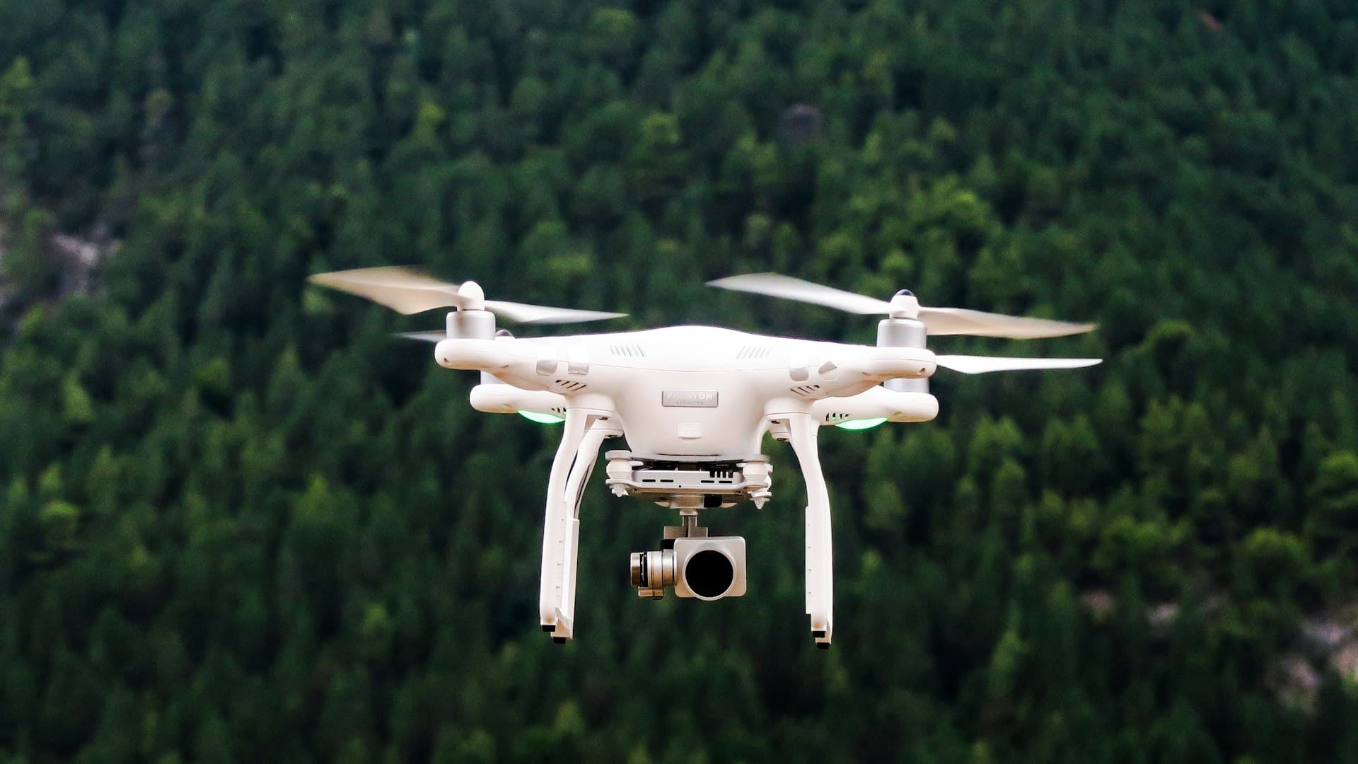
Drones are the most accessible entry point into robotics and the most commonly misunderstood as a career.
The misunderstanding is straightforward: people assume the job is flying.
The job that is not piloting
Modern commercial drones largely fly themselves. Waypoint navigation, stabilisation, automated survey patterns and return-to-home are standard. The piloting skill required for most commercial work is modest and certifiable in days.
What actually limits a drone operation is elsewhere.
Anyone can be trained to fly it. Far fewer people can get the operation authorised, keep the aircraft airworthy, and turn what the flight captured into something a client will pay for.
Regulatory permission. What you are allowed to do, where, and under what conditions.
Operational safety management. Risk assessment, procedures and the documentation an authority expects.
Maintenance and airworthiness. Keeping aircraft serviceable and demonstrating it.
Data processing. Converting captured imagery into models, measurements and findings.
The commercial value sits in the last one and the permission to operate sits in the first two.
What the direction covers
The scope: UAV flight dynamics, navigation, payloads, autonomous flight and regulation.
Five areas.
Aircraft and flight. Multirotor and fixed wing, aerodynamics, propulsion, endurance and the trade-offs between them.
Navigation and autonomy. Positioning, path planning, and behaviour when satellite positioning is degraded.
Payloads and sensing. Cameras, thermal, multispectral, lidar and gas sensing, and what each can actually measure.
Regulation and operations. Airspace, authorisation categories, risk assessment and operational procedure.
Data and deliverables. Photogrammetry, point clouds, orthomosaics, thermal analysis and inspection reporting.
Beyond visual line of sight, the constraint that shapes the industry
The single regulatory concept that determines which drone businesses are viable.
Most routine commercial operation happens with the aircraft in sight of the remote pilot. That is straightforward to authorise and it caps the range of any single flight.
Operating beyond visual line of sight removes the cap and is what makes several business models possible: long linear inspections of pipelines, power lines and railways, large-area survey, delivery, and autonomous docked systems that launch on demand without a crew travelling to site.
It also raises the safety question sharply, because the pilot cannot see and avoid other aircraft. Authorities in different jurisdictions handle this through risk-based assessment, detect-and-avoid requirements, restricted corridors and specific approvals, and the requirements continue to develop.
Three workforce consequences.
Regulatory and safety case capability is the gating skill. An organisation wanting these operations needs people who can build and defend an operational safety case, which is a specialist competence and genuinely scarce.
The business model depends on the permission. Planning a service around beyond-line-of-sight operation before securing the route to authorisation is how drone ventures fail.
Requirements differ by jurisdiction and change, so this is continuous learning rather than a one-off qualification.
Where this sits in the domain
Drones and aerial robotics is the seventh of nine directions in Astra Trainer's robotics and autonomous systems domain, sharing perception, navigation and control foundations with autonomous vehicles and computer vision.
It pairs with the space, aerospace and new mobility domain, where aviation operations, airlines and airports covers airspace and operational regulation, and avionics and navigation covers the systems layer. For inspection applications it also pairs with advanced materials for what the imagery is looking for, and with energy and engineering for the assets being inspected. Lessons are five minutes, which suits field crews. You can see the nine directions here.
The data problem behind every survey flight
The part clients actually pay for and the part operators most often underprice.
A survey flight of a modest site produces hundreds or thousands of images. A lidar flight produces a large point cloud. None of that is a deliverable.
Turning it into value requires several distinct skills.
Flight planning for the deliverable. Overlap, altitude, angle and ground control determine whether the data can produce the required accuracy. Getting this wrong means reflying, and the error is only discovered during processing.
Photogrammetric processing. Producing models, orthomosaics and measurements, and understanding the accuracy actually achieved rather than the accuracy claimed.
Interpretation. Deciding what a thermal anomaly on a solar array, a pattern on a roof or a change in a stockpile means. This requires domain knowledge about the asset, not about drones.
Reporting. Producing something a client can act on, in the format their systems expect.
The interpretation step is where most of the margin is, and it is the step that requires someone who understands the asset. A drone operator without that partners with someone who has it, or sells flights cheaply.
The roles, named
Remote pilots and drone operators. Certified, and the most accessible entry point.
UAS operations managers. Running an operation, its procedures, its compliance and its people.
Safety case and regulatory specialists. The gating capability described above.
Geospatial and photogrammetry analysts. Where the deliverable is produced.
Inspection analysts. Thermal, structural and asset-specific interpretation.
UAV maintenance technicians. Airworthiness and serviceability, and increasingly formalised.
Drone engineers. Designing and integrating aircraft, payloads and autonomy.
Counter-UAS and airspace security specialists, a growing and separate field.
Who can be trained into it
Surveyors. The strongest conversion. They already understand accuracy, control points, coordinate systems and what a client needs from a survey. Adding drone operation makes them considerably more productive, and they arrive with the part that takes years.
Asset inspectors. Power line, wind turbine, roof, bridge and pipeline inspectors know what they are looking for, which is the interpretation skill the data problem depends on.
Aircraft maintenance technicians. Into UAV maintenance and airworthiness management, bringing exactly the right culture.
Aviation operations staff. Into operations management and safety cases, since airspace, procedure and risk assessment are already familiar.
GIS and remote sensing analysts. Into the data side, which is where they already work.
Agricultural agronomists. Into precision agriculture applications, where interpreting multispectral imagery requires knowing the crop.
Worth noting what does not convert as well: recreational drone piloting. Flying skill is the least scarce input in this field, and an operation staffed with skilled pilots and no regulatory or data capability will struggle to sell anything.
Aviation regulation applies, and it is not optional. Commercial drone operation requires remote pilot competency, operator registration or authorisation, and compliance with airspace rules, and the categories, thresholds and requirements differ substantially by jurisdiction. Operations beyond visual line of sight, over people, at night or in controlled airspace typically require specific approval supported by a documented safety assessment. Training builds technical and operational understanding. It does not confer any pilot competency certificate, operational authorisation or airspace permission.
What to take from this
Flying is the least scarce skill in the field. Regulatory permission, safety management, airworthiness and data processing are the constraints.
Beyond visual line of sight is the regulatory question that decides which business models exist, and the safety case capability is the gating competence.
The deliverable is produced after the flight, and the interpretation step needs someone who understands the asset rather than the aircraft.
Flight planning errors surface during processing, which means reflying, so planning for the deliverable is a real skill.
And surveyors, asset inspectors and aircraft maintenance staff convert far better than experienced hobbyist pilots.
Is drone work mainly about piloting?
No. Commercial drones largely fly themselves, and pilot certification takes days. The constraints are regulatory permission, operational safety management, airworthiness and turning captured data into a deliverable.
Why does beyond visual line of sight matter so much?
Because it removes the range cap and makes long linear inspection, large-area survey, delivery and docked autonomous systems possible. It requires specific authorisation supported by a safety case, which is the scarce capability.
Where is the commercial value?
In interpretation. A flight produces data; deciding what a thermal anomaly or a structural pattern means requires knowing the asset, and that is where the margin sits.
Who converts into drone roles best?
Surveyors, who understand accuracy and deliverables; asset inspectors, who know what they are looking for; and aircraft maintenance technicians, for airworthiness. Recreational piloting converts least well.
Where does this fit in the domain?
Seventh of nine directions in Astra Trainer's robotics and autonomous systems domain, pairing with aviation operations in the space and mobility domain. You can see them here.